Unlock Mexico's Geological Secrets with GeoInfoMex!
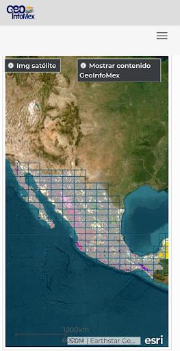
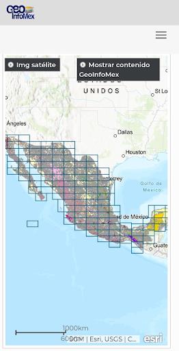
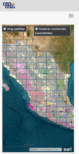
Dive into the heart of Mexico's geological wonders with GeoInfoMex, your comprehensive geological consultation app. This powerful tool puts geoscientific data at your fingertips, revealing the hidden treasures beneath the surface. Explore a wealth of resources, including geological-mining and geophysical data, geochemical maps, and detailed information on mines, beneficiation plants, and remarkable rock formations.
GeoInfoMex also offers invaluable insights into land ownership via the National Agrarian Registry, showcasing agrarian nuclei (ejidos). Discover the beauty and importance of Mexico's diverse ecosystems through detailed information on CONANP protected natural areas. Stay informed about seismic activity with real-time earthquake updates from SSN and IG-UNAM. Finally, access crucial hydrological data from Cencas, providing a complete picture of Mexico's water resources.
Key Features of GeoInfoMex:
- Comprehensive Geological Data: Access a vast array of geoscientific, geological-mining, and geophysical information for all of Mexico. Explore detailed maps and data related to mining activities, geophysical surveys, and geochemical mapping.
- Mining & Rock Information: Discover detailed information about mines, processing plants, and significant rock formations across the country. Learn about their location, characteristics, and operational details.
- Land Ownership Data: Gain insight into land ownership patterns through data from the National Agrarian Registry, providing information on agrarian nuclei and their boundaries.
- Protected Natural Areas: Explore the diverse natural landscapes of Mexico's protected areas managed by CONANP. Ideal for eco-tourism enthusiasts and conservationists alike.
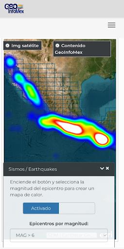
- Real-time Earthquake Monitoring: Stay informed and safe with real-time earthquake information from reliable sources like SSN and IG-UNAM.
- Hydrological Data Access: Access hydrological reports from Cencas, including crucial data on water resources, river basins, and water quality.
In Conclusion:
GeoInfoMex is the ultimate resource for geoscientists, researchers, environmentalists, and anyone fascinated by Mexico's geological richness. Download the app today and embark on an extraordinary geological adventure!
3.1
2.95M
Android 5.1 or later
gim.pack